
West New York ZIP Code Coverage
The sole ZIP verified for West New York is 07093. It is used for Town Hall, the Library and Museum, Municipal Court, Police, Health, and Tax addresses. The West New York ZIP code directory therefore begins with one documented postal area, not a list of surrounding ZIPs that have not been confirmed for the Town.
| ZIP | Verified West New York use | Post office | Record-search note |
|---|---|---|---|
| 07093 | Town government, Library, Museum, Court, Police, Health, and Tax addresses. | West New York Post Office, 5415 Bergenline Avenue. | Postal delivery geography, not a legal Town boundary or a parcel identifier. |
The post-office address uses the 07093-9998 suffix. That suffix is part of the facility address, not evidence of a second West New York delivery ZIP. No separate PO-box-only or unique-institution ZIP was verified for the Town, and no local ZIP realignment history was located in the sources reviewed.
West New York 07093 Boundary
07093 is postal geography, not the municipal line. The State's local-registrar information lists a Guttenberg address with the same ZIP, while West New York official addresses use it as well. A ZIP-only result can therefore cross into a neighboring municipality. Before treating a record as West New York material, check its municipality or taxing district and then verify the parcel through a block and lot.
The USPS West New York Post Office page documents the 07093 facility and its local postal context.
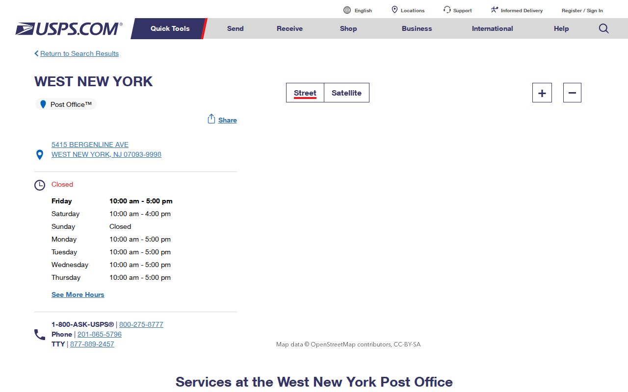
Use the USPS route to confirm how an address is delivered, then move to Town and county parcel records when the question is which municipality or property record applies.
This boundary difference is not a defect in a ZIP code. It is a reason to avoid turning a postal match into a town-wide directory result. The relevant Town tax record and Hudson County land record remain tied to the municipal parcel, not merely to the postal label.
West New York USPS ZIP Check
Confirm the complete street address with USPS before beginning a ZIP code directory search. The postal check is useful for address spelling and delivery context. It does not supply a town tax district, a block and lot, or a list of persons. Those are separate record questions held by other custodians.
For a West New York address, save the address in the same form used by USPS, then compare it with the Town tax map and parcel map. Numbered streets, avenues, Bergenline Avenue, Boulevard East, and Port Imperial Boulevard can appear in more than one record system. Retaining the address form alongside the block and lot makes later Register and municipal requests more precise.
Note: USPS confirmation narrows an address question, while Town and county records decide the municipal parcel that belongs in a West New York search.
West New York Census ZCTAs
A Census ZIP Code Tabulation Area, or ZCTA, is not the same thing as a ZIP Code. The Census builds ZCTAs as generalized, block-based statistical representations from USPS delivery points. A ZCTA can help a researcher understand broad tabulation geography, but it should not be used as a delivery map or proof that every address in it receives the same postal service.
The Census ZCTA guidance explains the distinction between a statistical ZCTA and USPS delivery geography.
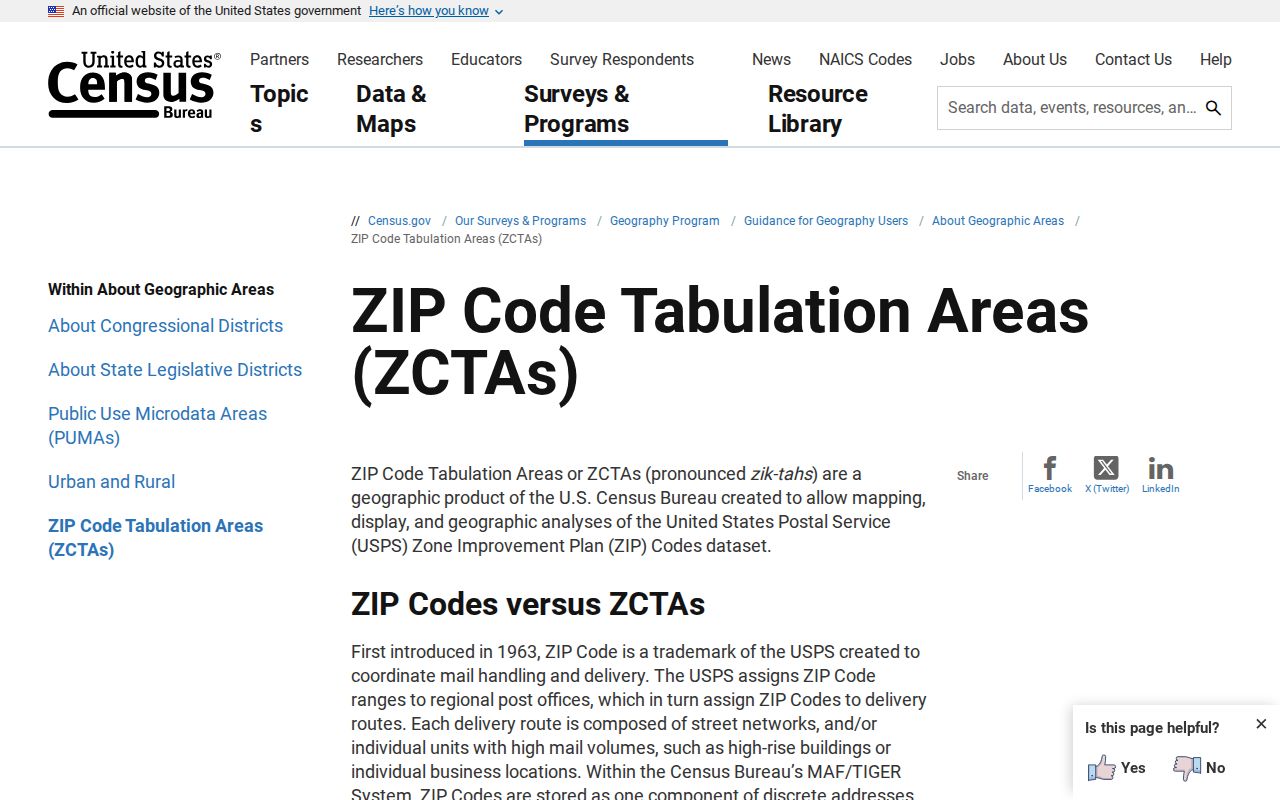
The Census explanation reinforces the local 07093 boundary caution: a statistical area and a postal label are not substitutes for the municipality, tax district, and parcel fields that identify the West New York record route.
West New York ZIP Code Directory Steps
There is no verified ZIP-wide people or property portal for West New York. WIPP does not document ZIP as a filter, and Property Explorer documents address, county, municipality, block, and lot inputs rather than a ZIP-wide query. The workable sequence begins with a confirmed individual address and narrows into the property record instead of claiming a ZIP filter that the source does not provide.
- Confirm the full address and 07093 delivery context through USPS.
- Record the stated municipality or taxing district rather than assuming the ZIP identifies West New York.
- Use the address or Hudson County, West New York, block, and lot route in Property Explorer to identify the parcel.
- Use the Town tax map and WIPP or the Assessor for a tax-account or block-and-lot question.
- For a recorded-property question, take the municipality, block, lot, and legal description to Hudson Register Acclaim.
Once the ZIP has been reduced to a verified local address, the address chain belongs on the West New York street directory route. That sequence adds the deed and municipal-file channels without misrepresenting a postal area as a resident list.
West New York Parcel Records
West New York layers block-and-lot property identifiers beneath its ZIP code. The official tax map shows the numbered-street grid, named avenues, parcels, and block/lot structure. A recent Town legal notice illustrates the practical pairing of a common address with a block and lot: 6120 Buchanan Place is identified there as Block 40, Lot 5. Preserve both forms during a property search because an address can be formatted differently across sources.
The West New York Tax Department provides the Town's tax route and links to the tax map.
The Tax Department image represents the local starting point for a parcel question. A property location, an owner mailing address, and a legal description serve different purposes. The situs is the physical parcel, while a mailing address is correspondence information that may point elsewhere.
The Town's 2026 adoption statement is an example of the address-plus-block-and-lot form in a municipal public document. It is a property-record lead, not a current household finding.
ZIP Fields in West New York Records
New Jersey Property Explorer's parcel schema can include ZIP5 and ZIP+4 fields. That is different from offering a ZIP-search filter. The documented query inputs below show the fields that can move a confirmed West New York address into the correct parcel record. They also explain why a broad ZIP-only query should not be promised.
| Documented input | How it narrows a West New York parcel | ZIP limitation |
|---|---|---|
| Address | Starts with the confirmed street address. | Address is a query input, not a ZIP-wide resident search. |
| County | Select Hudson County for the regional parcel route. | County remains broader than the Town and ZIP. |
| Municipality | Select West New York to avoid a neighboring 07093 record. | Municipality, not postal code, confirms the Town layer. |
| Block and Lot | Tests the local property identifier against the tax map. | These fields stabilize an address after postal confirmation. |
| ZIP5 or ZIP+4 attribute | May appear in parcel data. | The research did not document it as a searchable ZIP filter. |
At the local end, the compiled WIPP interface describes Block, Lot, Qualifier, Owner Name, Property Location, and Tax Account ID or PIN routes. It does not document a ZIP control. Its tax-account results may describe owner name or address, property location, block/lot/qualifier, and billing or payment fields. Those records should be read as tax-account context, not as an account of every person at a property.
New Jersey Property Explorer also carries Daniel's Law owner-name redaction notice. State transparency guidance says local assessors file annual assessment lists with county boards, so the date of a later transfer may need confirmation in Hudson Register Acclaim. Use parcel geography for context and obtain a property-record answer from the lawful local assessment or recorded-document channel.
West New York ZIP Code Grid
West New York's compact address geography includes numbered streets in the 49th through 67th range on the Town tax map, along with Bergenline Avenue, Boulevard East, Broadway, Park, Hudson, Palisade, Dewey, and Port Imperial Boulevard. A ZIP code is useful as a first sorter, but those street forms and the block-and-lot layer are what make a record request or deed search specific.
Historic research needs one more adjustment. Before West New York was recognized in 1898, the area was associated with Bergen Township, North Bergen Township, and Union Township in different periods. For an old address or directory reference, search those predecessor labels as well as the modern Town name. No official source was located for a town-wide street renumbering or ZIP realignment year.
Note: Keep the postal address, municipality, and block-and-lot identifier together because each identifies a different part of the West New York record trail.
West New York ZIP Code Limits
A ZIP code directory can organize address research, but it cannot resolve a municipal boundary, establish who occupies a building, or reveal protected information. Postal geography should be paired with the local parcel and custodian records. If the record does not match West New York's municipality or tax district, treat it as a lead requiring verification rather than as Town evidence.
- ZIP Code
- A USPS delivery routing label used for mail, not a legal municipal boundary.
- ZIP+4
- An added delivery-routing segment that refines a ZIP Code for mail handling.
- PO-box ZIP
- A ZIP used for post-office boxes, which is not proof of a physical property location.
- Unique ZIP
- A ZIP assigned for a particular institution or destination; none was verified for West New York.
- Carrier route
- A postal delivery grouping that should not be treated as a municipal or parcel boundary.
Use ZIPs carefully. West New York postal and parcel records can support lawful personal, family-history, property, and civic research. Do not use address information to stalk, harass, intimidate, or harm another person.